

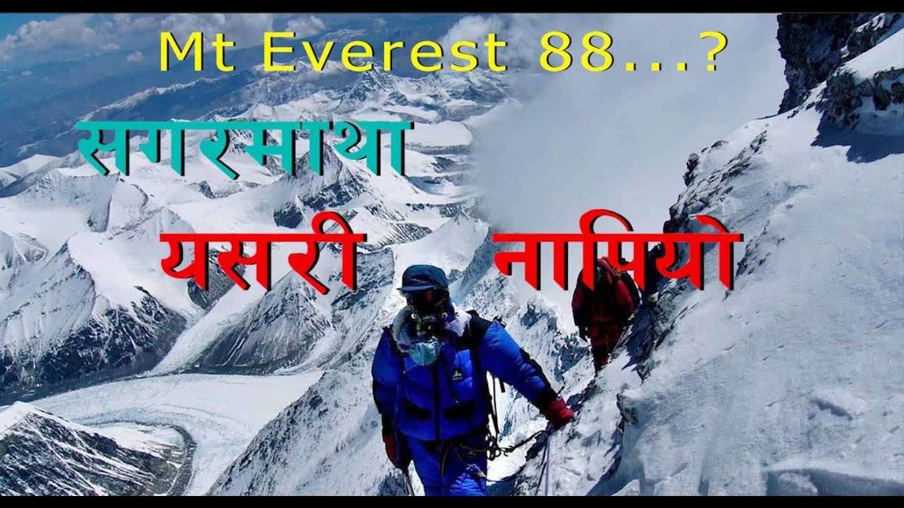
भूकम्पपछि सगरमाथाको उचाई कति ? टुप्पोमै पुगेर उचाई नाप्ने नेपाली New Height of Mt Everest
#NewHeightOfMtEverest #MtEverest


Khim Lal Gautam, Nepali Scientist
When Khim Lal Gautam reached the top of Mount Everest at 3 a.m. on May 22, it was dark, windy and lethally cold.
(News from Washington post)
Gautam carried some unusual baggage — a ground-penetrating radar and a top-of-the-line satellite navigation device. Unlike most climbers, he and his team remained at the summit for nearly two hours so they could take the measurements they needed. Gautam suffered a serious case of frostbite, and his colleague nearly died of a lack of oxygen while descending.
But they completed their mission: to obtain crucial pieces of data that will help determine Mount Everest’s true height.
The most commonly accepted figure for Mount Everest’s height is 29,029 feet, a measurement that dates to the 1950s. Some scientists believe that the world’s highest mountain may have shrunk slightly after a powerful earthquake struck Nepal in 2015.
Now, for the first time, Nepal has sent its own teams outfitted with the latest surveying technology to come up with a new measurement of the peak. The two-year, $1.3 million effort is driven both by patriotism and scientific inquiry, experts say.
source

लाइभ न्युज


तपाईको प्रतिक्रिया